SOTERIA Safety Intelligence Platform: Turning analytics into actionable urban decisions
As part of the SOTERIA project, Nommon, the University of Deusto and SWARCO have developed a prototype tool that harnesses new data sources to enable more proactive road safety analysis. The tool is designed to support road authorities and safety practitioners in identifying and prioritising high‑risk locations. Tested in the Madrid Living Lab in collaboration with the local police, the tool has been validated in a real operational environment.
Why move beyond traditional hotspot analysis
Most hotspot analyses still rely mainly on accident databases. This approach is useful, but it also comes with clear limitations: it only reflects recorded crashes, requires significant manual effort, and is typically updated only occasionally.
More importantly, it leads to a reactive perspective—locations are flagged as risky only after accidents occur. But a road segment with no recorded crashes is not necessarily safe; it may simply not have experienced the right combination of risk and exposure.
This naturally leads to a key question: how can we identify potentially unsafe locations before accidents happen?
A data-driven approach using new mobility sources
The SOTERIA tool addresses this by combining traditional accident data with new mobility datasets.
A key component is Connected Vehicle Data, which provides information on vehicle position, speed and acceleration. This makes it possible to identify harsh driving events, such as sudden braking or sharp manoeuvres, which can be interpreted as indicators of risky situations and near-miss conditions.
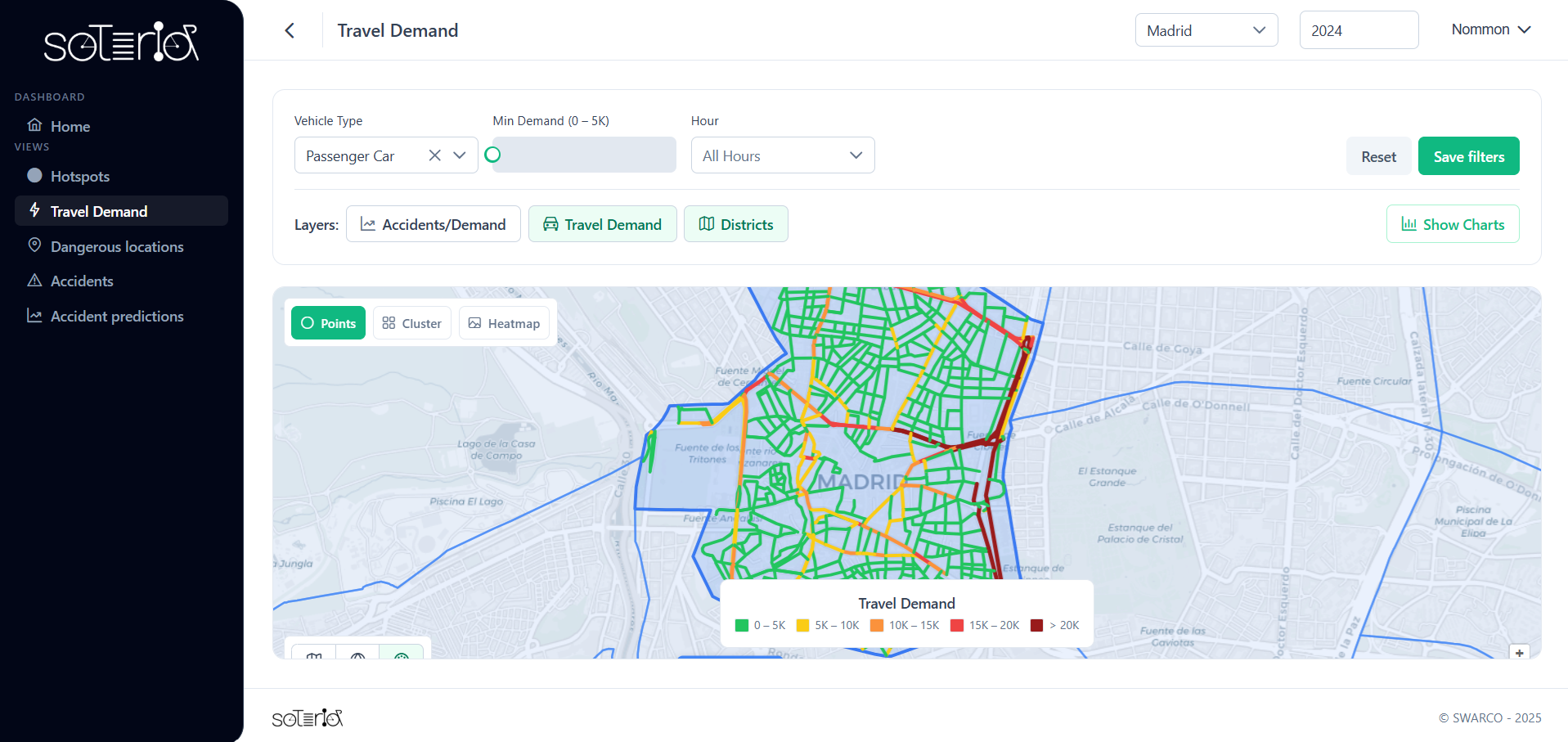
In addition, mobile network data are used to estimate travel demand at road section level, allowing crash patterns to be analysed in relation to exposure for different user types.
On top of this, the tool also incorporates AI methods to support the prediction of road crash risk, combining historical accident data, mobility information, near misses and infrastructure data to estimate where and when accidents are more likely to occur.
A Modular approach to road safety analysis
The tool is built around several complementary modules, each addressing a key aspect of road safety.
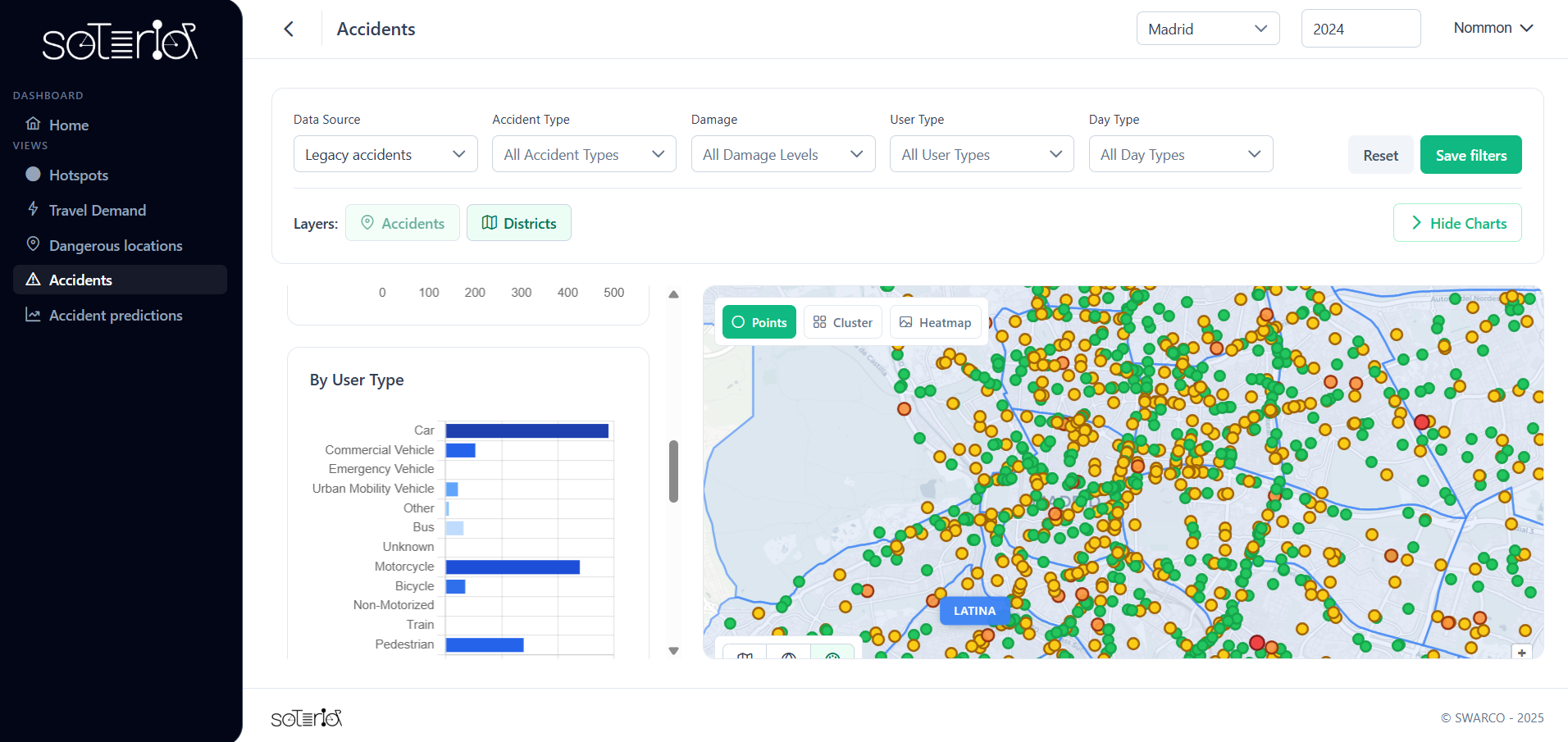
- Descriptive & diagnostic analysis
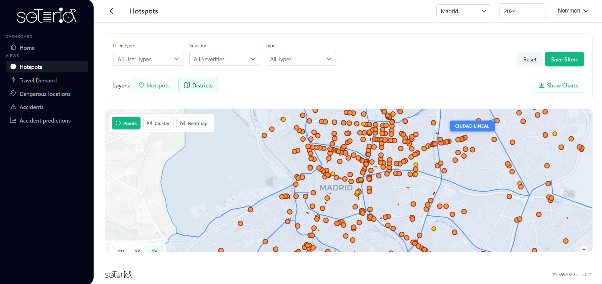
- Accidents: visualisation of crashes and attributes
- Hotspots: identification by severity and user type
- Exposure & demand analysis
- Travel demand characterisation
- Accident exposure indicators
- Proactive & predictive analysis
- Dangerous locations, including near‑miss detection using connected vehicle data
- Accident prediction, based on AI‑based risk estimation
From analysis to decision-making
One of the key strengths of the tool lies in its ability to integrate multiple data sources into a single platform. This significantly reduces the need for manual data processing and fragmented analysis workflows.
For public authorities, this translates into:
- Faster and more efficient analysis processes
- Access to new insights that were previously difficult to obtain
- Better prioritisation of interventions based on risk
By combining accident data, near misses and traffic insights, the tool supports a shift from a reactive approach to a more proactive understanding of road safety.
The prototype has been validated in the Madrid Living Lab with the local police, confirming its potential to support real-world road safety analysis and decision-making. Beyond this pilot, the approach is designed to be transferable to other cities and contexts, supporting a shift towards more proactive, data‑driven road safety strategies.
This piece has been authored by Nommon
- Log in to post comments